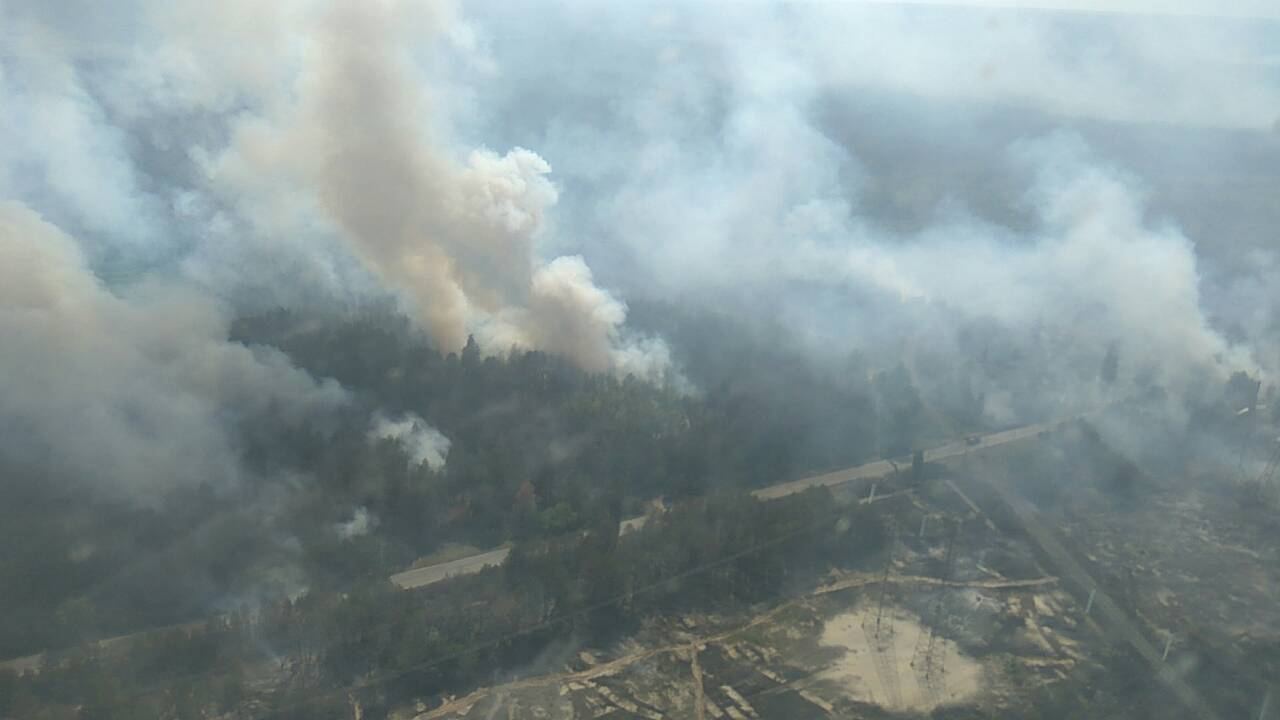

The first hour of a wildfire decides much of what follows. A blaze spotted while it is still the size of a campfire can often be contained by a single crew; the same fire found three hours later may need aircraft, evacuations and weeks of work. That arithmetic is driving a global push into early-warning systems that combine satellites, ground sensors and artificial intelligence to find ignitions in minutes rather than waiting for a member of the public to see smoke.
NASA’s Earth Observatory has documented how thermal sensors aboard polar-orbiting and geostationary satellites detect heat anomalies through smoke and darkness, flagging new fires for agencies on the ground. Geostationary satellites are especially valuable for warning: they stare at the same continent continuously, refreshing images every few minutes.
From Heat Spot to Actionable Alert
A satellite detection alone is not yet an alarm a fire chief can trust. Hot industrial sites, sun-glint and agricultural burns all trigger sensors, so modern systems layer in weather data, vegetation dryness and camera networks on mountain lookouts. AI models trained on years of fire history learn which combinations genuinely precede a spreading wildfire, cutting false alarms and ranking alerts by likely severity. In several pilot regions, camera systems using machine vision now scan the horizon continuously and triangulate smoke plumes for human verification within minutes.
The European Space Agency’s Earth observation programmes are part of the same effort, feeding Copernicus data into emergency management services that map active fires and burn scars for responders across Europe.
Prediction Is the Next Frontier
Detection is only half the system. Fire-behaviour models that ingest wind forecasts, terrain and fuel moisture can project where a fire will run in the next six to twelve hours, guiding pre-positioning of crews and earlier, more targeted evacuation warnings. Researchers are also flying drones with thermal cameras to scout firelines too dangerous for people, and testing networks of cheap ground sensors that sniff smoke and heat in high-risk forests.
Our science coverage follows these trials, including programmes in Australia, Canada and the Mediterranean, where fire seasons have lengthened markedly.
Technology Helps, But It Is Not a Substitute
Specialists caution that early warning buys time; it does not reduce the fuel, drought and heat that make modern fires so intense. Detection systems must connect to crews who can actually respond, to water and aircraft availability, and to communities prepared to act on an alert. False confidence is a risk if a monitored forest is assumed safe. Used honestly, though, satellite and AI warning is one of the few fire measures whose value grows as conditions worsen — minutes saved at ignition are worth more than any resource added later. Related reporting appears in our climate section.